Montana Topo + National Forests 2024 Map
Created By: yogazoo
Last Updated: August 10th, 2024 5:08pm
Map Coverage:
North: 49.0004°
West: -116.051°
East: -104.039°
South: 44.3573°
Country: United States
State: Montana
Price: Free
![]()
![]()
![]()
![]()
![]()
![]()
![]()
![]()
Most Popular Maps
- My Trails-High Quality Trail and POI Maps
- Arizona Topo
- World Topo - Eastern
- Florida Topo
- WV-VA-KY July-4 2025 Public Map
Other Maps By yogazoo (See All)
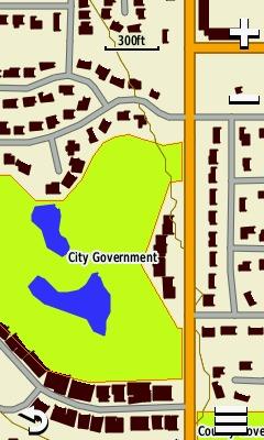
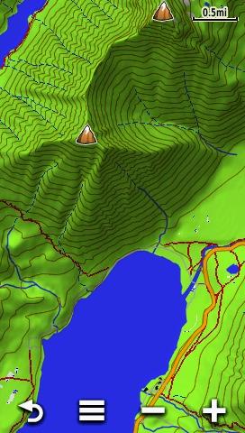
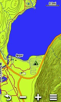
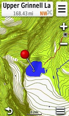
Montana Topo + National Forests is a highly detailed, 24k scale topographic map of Montana with the following updated features:
- National Forest (USFS), USFWS, National Park boundaries (including all of Yellowstone National Park) and City Parks.
- Indian reservation boundaries.
- 55,000+ Points of Interest.
- 24k scale contour Lines (based on USGS topo quad resolution).
- Updated roads layer for improved accuracy and coverage. Some areas of poor coverage or data quality have been manually digitized.
- Updated Forest Service ownership polygons.
- Additional 650,000 building footprints statewide.
- River Mile Points for floaters on the Missouri and Smith Rivers!!
- Road and trail edits and updates in select areas.
If you experience any problems, errors, or would like to provide feedback or suggestions please feel free to email me at: [email protected]
 Download Windows Version [487MB] (31875 Downloads)
Download Mac Version [887MB] (8067 Downloads)
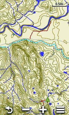
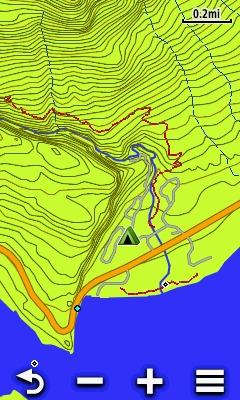
Here are a few screen shots of our MT Topo + National Forest map. Some screenshots were taken enabled over Garmin's Topo 24K product. As you can see the terrain shading of Garmin's product shows up through some of the following images. For more images, download options, and information regarding this mapset please visit our website: gpsmapsmontana.com