Spring Meadow Lake - Aerial Imagery Map
Created By: yogazoo
Last Updated: December 9th, 2011 11:12am
Map Coverage:
North: 46.1445°
West: -112.08°
East: -112.069°
South: 46.6073°
Country: United States
State: Montana
Price: FREE
![]()
![]()
![]()
![]()
Most Popular Maps
- My Trails-High Quality Trail and POI Maps
- Arizona Topo
- World Topo - Eastern
- Florida Topo
- WV-VA-KY Feb 3 2025 Public Map
Other Maps By yogazoo (See All)
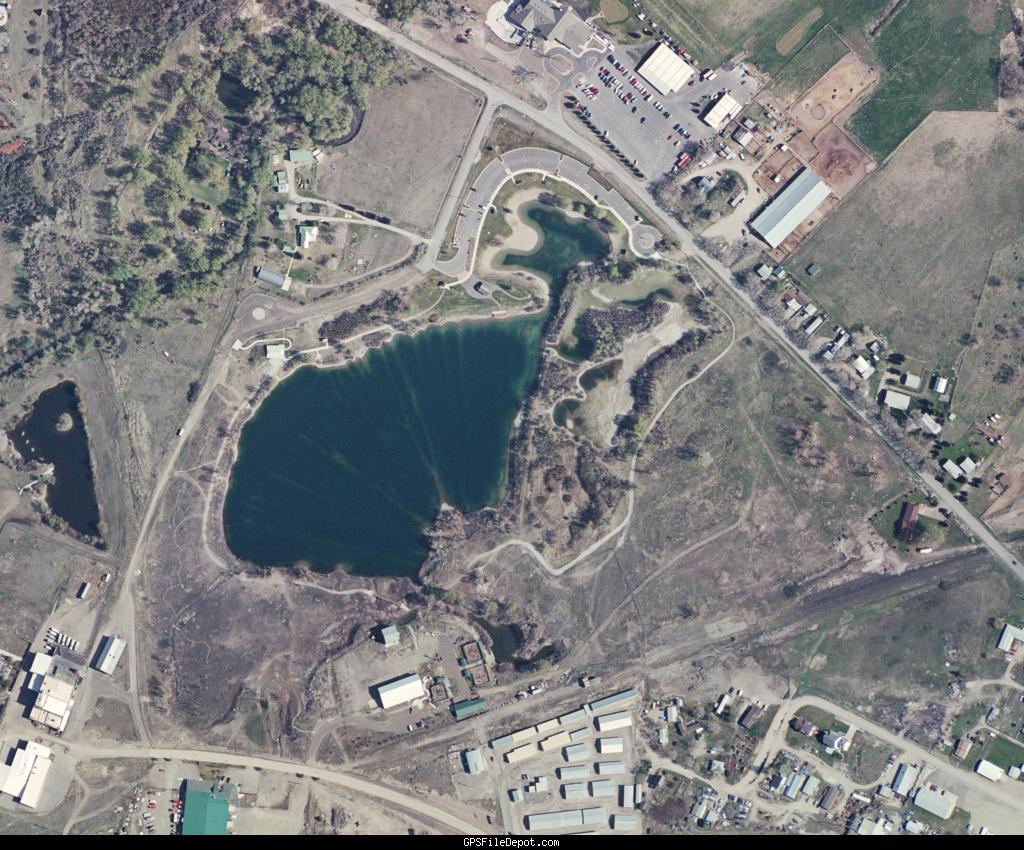
Aerial imagery of Spring Meadow Lake State Park. Image from Helena High Res - 2008 series.
INSTRUCTIONS: Unzip the file and place the .KMZ file into your "CustomMaps" folder in the "Garmin" folder on your units internal memory. Restart your GPS and enable Custom Maps in your map setup. Other vector based maps will superinpose on top of this image.
This file is only compatible with the newer Garmin handheld units (Colorado, Dakota, Oregon, eTrex 10-20-30, Montana, 62, 78, Rino 600)
 Download Garmin Custom Map [8MB] (1409 Downloads)
Below is a preview of the coverage area.