Joshua Tree Raster Topo Map
Created By: Stoaty
Last Updated: February 7th, 2009 4:02pm
Map Coverage:
North: 34.15°
West: 116.6°
East: 115.2°
South: 33.35°
Country: United States
State: California
Price: Free
![]()
![]()
![]()
![]()
![]()
![]()
Most Popular Maps
- My Trails-High Quality Trail and POI Maps
- Arizona Topo
- World Topo - Eastern
- Florida Topo
- WV-VA-KY Feb 3 2025 Public Map
Other Maps By Stoaty (See All)
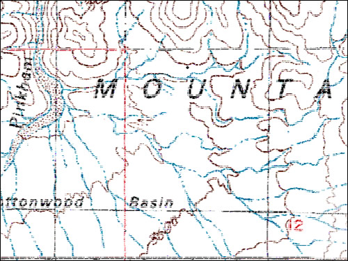
1:24000 raster topo map of Joshua Tree National Park and surrounding area. Created by John Hollenberg with Moagu and data downloaded from scanned topos on the USGS seamless server.
This map will take time to load both in MapSource and your Garmin GPS units. The map is slower than normal vector maps and only visible when zoomed in to 0.5mi + on highest detail. The map is optimally viewed at 500ft zoom.
 Download Windows Version [401MB] (3208 Downloads)
Download Mac Version [401MB] (1792 Downloads)