Massachusetts: Boylston: Wachusett Reservoir Map
Created By: dbperry
Last Updated: April 2nd, 2013 11:04pm
Map Coverage:
North: 42.4132°
West: -71.8125°
East: -71.679°
South: 42.3376°
Country: United States
State: Massachusetts
Price: Free
![]()
![]()
![]()
![]()
![]()
![]()
![]()
Most Popular Maps
- My Trails-High Quality Trail and POI Maps
- Arizona Topo
- World Topo - Eastern
- WV-VA-KY Dec-29 2025 Public Map
- Florida Topo
Other Maps By dbperry (See All)
Wachusett Reservoir, Boylston, MA 01505
Location Information
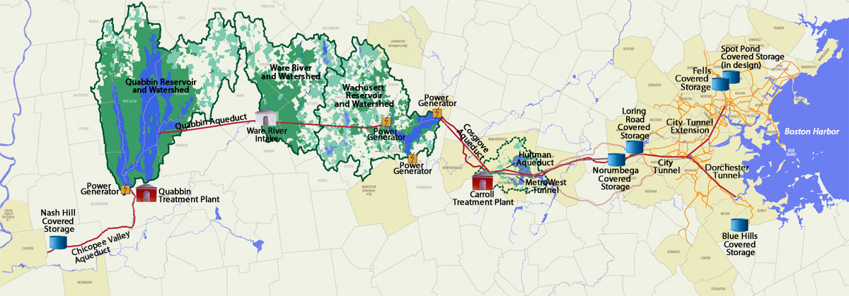
The Wachusett Reservoir is the second largest body of water in the Commonwealth of Massachusetts and is a link in the chain of water supply for the City of Boston and 50 other cities and towns in Eastern Massachusetts. The MWRA manages the reservoir (including the water level), while the Department of Conservation and Recreation (DCR) stewards the surrounding lands. The Wachusett and Quabbin reservoir system are widely regarded as one of the best drinking water supply systems for a major metropolitan area in the United States, and the story behind the development, construction and use of them is fascinating. The Wachusett Reservoir holds 65 billion gallons of water and is up to 117 feet deep. Fishing is allowed in most areas, but swimming, boating, and other uses of the water are strictly prohibited. A network of fire roads and trails provides ample hiking opportunities around the reservoir.
http://www.mass.gov/dcr/watersupply/watershed/pacc.htm
More information about the Wachusett Reservoir at:
http://www.mass.gov/dcr/parks/central/wachRes.htm
and
http://www.mwra.state.ma.us/04water/html/wsupdate.htm
and
http://www.mwra.state.ma.us/04water/system-maps/simple-water-1200.jpg
and
http://en.wikipedia.org/wiki/Wachusett_reservoir
Source Data
My KMZ map is from the DCR "gates" map:
http://www.mass.gov/dcr/watersupply/watershed/maps/WachusettResGates.pdf
(See Version History below for more information)
There are other maps available here:
http://www.mass.gov/dcr/watersupply/watershed/maphome.htm#Wachusett%20Reservoir
iPhone / Android / Google Map Links
The links below will allow you to view an interactive version of the KMZ trail map on your computer or on your mobile device (iPhone / iPad / Android). By allowing the Google Maps website to 'use your location' on your device, you will be able to see your position displayed on the Google Map.
When opening the links on your iPhone, don't use the Google Maps app - allow the browser to open the link on the Google Maps website.
CLICK HERE to view the Wachusett KMZ map in Google Maps
CLICK HERE to view the Wachusett KMZ map in Gmap4 (terrain shaded map)
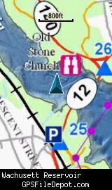
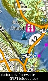
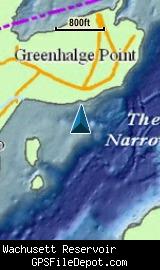
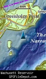
Screenshots
This KMZ map is set to Draw Order 32 so it will show 'beneath' the primary map on your Garmin KMZ-compatible GPS.
Note that due to the wide coverage area of this map, it is actually 4 tiles. Keep that in mind when placing this on your Garmin GPSr - even though this is one KMZ, the number of tiles is limited to 100 across all the KMZ files loaded on most Garmin GPSr models (500 tiles if you have a Garmin Colorado).
The image on the left in each row below is from a Garmin GPSMAP 78sc with no other maps displayed. The image on the right in each row below is from the same device with the Garmin 24K NE series TOPO maps displayed.
Download
I have posted this KMZ as freeware, so instead of paying me for it, send me a note if you found this file helpful!
[email protected]
 Download Garmin Custom Map [2MB] (1609 Downloads)
Once you have downloaded and unzipped the KMZ file, you can:
1) Display it on your Garmin GPS receiver by placing the file in the \Garmin\CustomMaps folder on your supported Garmin GPS receiver. For a list of supported devices, click here.
2) Display it in Google Earth by opening the file (FILE, OPEN).
Notification of Updates
If you would like to be notified when I update this or any of my KMZ maps, subscribe to my notification e-mail service by sending an e-mail to [email protected] with the subject line "subscribe gps_maps"
This is a notification list only, and the only posts you will receive are when my KMZ maps are updated. Your e-mail address will not be used for any other purpose (or provided to anyone else except me).
Support The Effort
If you find the map and this website useful please consider making a donation to offset hosting costs.
* You don't need paypal to donate but that is who will process the donation.
Version History
Version 1.00 (4/3/2013)
Initial release using DCR map dated April 2012.
Map Summary
Site details:
Name: Wachusett Reservoir
Owner / Steward: DCR
State: Massachusetts
County: Worcester
Primary city / town: Boylston
Primary city / town zip code: 01505
Other cities / towns in map area: Clinton, Sterling, West Boylston. And tiny slices of Northboro and Holden.
Area of conservation / recreation land: 10,960 acres or 17.12 square miles
NOTE: This is my calculation of the extents of the area(s) with publicly accessible trails on the KMZ map. This should be the area available for hiking or other recreation, but it will also include any portion of water bodies, marshes, swamps, etc. within the boundaries of the properties on the KMZ. It would also include inaccessible conservation land within the boundaries, such as a buffer zone of "Do not enter" land around a reservoir.
KMZ details:
Current version: 1.00
Date published: 4/3/2013
Number of tiles: 4
KMZ file size: 2,243 KB
Draw order: 32
Does this KMZ overlap with any others? No
If so, which ones? N-A
Coverage of KMZ: 22,721 acres or 35.50 square miles
NOTE: this area includes the ENTIRE KMZ including white space / margins / legend, etc.
GPS coordinates of center of KMZ polygon (not necessarily the center of the map):
N 42° 22.520'
W 71° 44.740'