Coyote Buttes Raster Topo Map
Created By: Stoaty
Last Updated: February 8th, 2009 7:02pm
Map Coverage:
North: 37.4°
West: 112.2°
East: 111.6°
South: 36.8°
Country: United States
State: Arizona, Utah
Price: Free
![]()
![]()
![]()
![]()
![]()
![]()
Most Popular Maps
- My Trails-High Quality Trail and POI Maps
- Arizona Topo
- World Topo - Eastern
- Florida Topo
- World shaded relief kmz
Other Maps By Stoaty (See All)
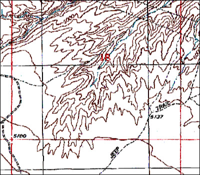
1:24000 raster topo map of Coyote Buttes and area to the West of Page, Arizona that would be of interest to photographers/hikers. Created by John Hollenberg with Moagu and data downloaded from scanned topos on the USGS seamless server.
This will install the map into MapSource where you can then load it onto your GPS unit. The map is slower than normal vector maps and only visible when zoomed in to 0.5mi + on highest detail. The map is optimally viewed at 500ft zoom.
 Download Windows Version [125MB] (4297 Downloads)
Download Mac Version [125MB] (1436 Downloads)
Screenshot: